

About Laem Ngop
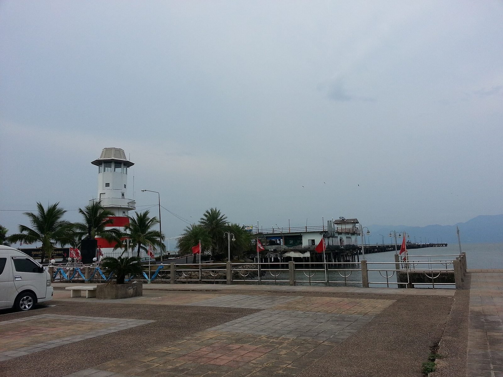
Laem Ngop is a coastal district in Trat province, facing the island of Ko Chang. The district was established in 1897 under the name Ko Chang. For travellers it is mainly the place where the ferries to Ko Chang depart: the piers lie around Laem Ngop and Ao Thammachat. The town itself is small, with fishing, small restaurants serving fresh seafood and mangrove areas. In Mu Ko Chang National Park the area merges with sea and islands. Many travellers see Laem Ngop only as a transit point, but the harbour has its own atmosphere, with fishing boats, stalls and views of the islands. Allow enough time for the ferry and watch the weather in the rainy season, when the sea can be rougher.
Best time to visit (indicative)
Best from November to February. Chanthaburi and Trat are among the wettest areas of Thailand, with very heavy rain from June to September (Trat in July about 1,024 mm); island trips are limited in those months. Weather varies from year to year; this is a guideline based on the climate.
Getting there
From Trat, songthaews and minivans run to Laem Ngop (about 30 minutes); from Bangkok take a bus to Trat and continue. Distances and travel times are rounded estimates.
Things to do in Laem Ngop
- Ferry to Ko Chang The piers at Laem Ngop and Ao Thammachat serve the crossing to the island.
- Fishing boats and harbour The harbour has its own atmosphere with small restaurants and fishing boats.
- Fresh seafood Simple restaurants serve freshly caught fish.
- Mangroves Quiet mangrove areas along the surrounding coast.